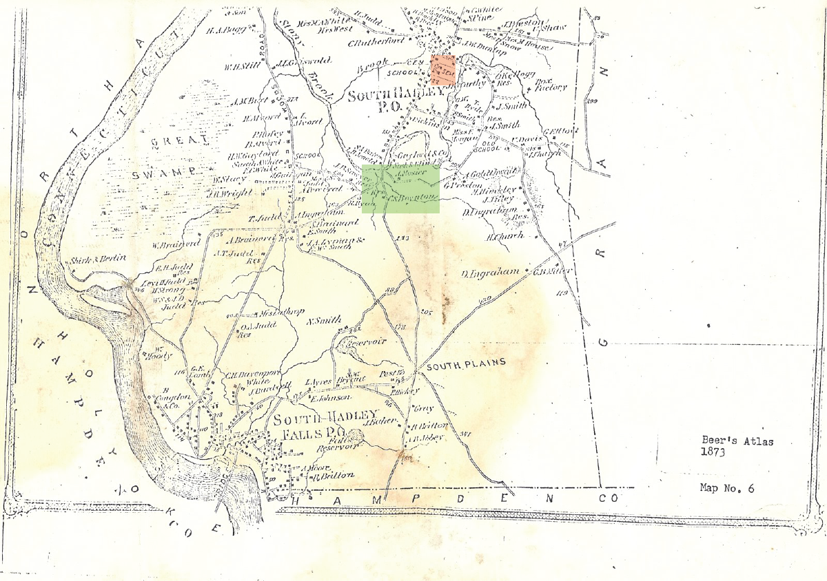
Photo of Map of South Hadley, Mass.
This map of South Hadley, Mass from Beer’s Atlas 1873 has been highlighted to show the approximate location of Talbot’s discovery ( in green) relative to the orange highlighted location of Mount Holyoke College. Photo courtesy of ASCMHC.
